

The field season of 2018 is coming to an end for SGU and Ocean Surveyor, which in a couple of days will anchor for the winter in the port of Slagsta, in lake Mälaren in the vicinity of Stockholm. The coast of Haparanda in the Bothnian Bay has presented us with many challenges, with its shallow waters and sometimes harsh winds. However, it has also been an amazing and rewarding environment to work in the archipelago with many warm sunny days and glorious sunsets. One of the main goals of this project has been to create a seamless map and complete geological data with our Finnish equivalent GTK of the seafloor landscape, which hopefully will become reality soon when we bang our wise heads together. This project will not only be able to help better understand the underwater environment and its geology, it will also benefit the understanding of the ecosystems in the area and how it may have been affected by humans, as Photo/video and infauna-sampling (cooperation with SLU) of the seafloor has been part of our daily job. For instance, we´ve found lots of anoxic seabed in more fine grained sediments, which is not very beneficial for most animals. However, the top most 2-5 mm of seabed in these sediments have all through been oxidized.

Our original survey plan has not been completed altogether, due to some technical issues and more hard winds at the end of the season than we had expected. This however should not affect the original plan with a perfectly seamless map to the Finnish measured area, which is located at the east of our area. This is also the area which have been our highest priority, and south/southwestern area haven´t been prioritized as high. We will soon step in to the warm and cozy office to do the exciting finalizing all the work we´ve done this season on the SEAmBOTH project.
For me that’s writing, additional geologist Jesper Moberg (rookie). It has been a turbulent first season, with lots of confusion and a lot to learn. Before I started I couldn´t even imaging working on a boat, and my opinion didn´t change after many hours of seasickness throughout the two first weeks. Now however, it feels much more comfortable bumping around on the seas knowing (sort of) what you do. Not to mention the great crew of Ocean Surveyor I got to know during this season, that always has an easy going atmosphere and progressive state of mind.
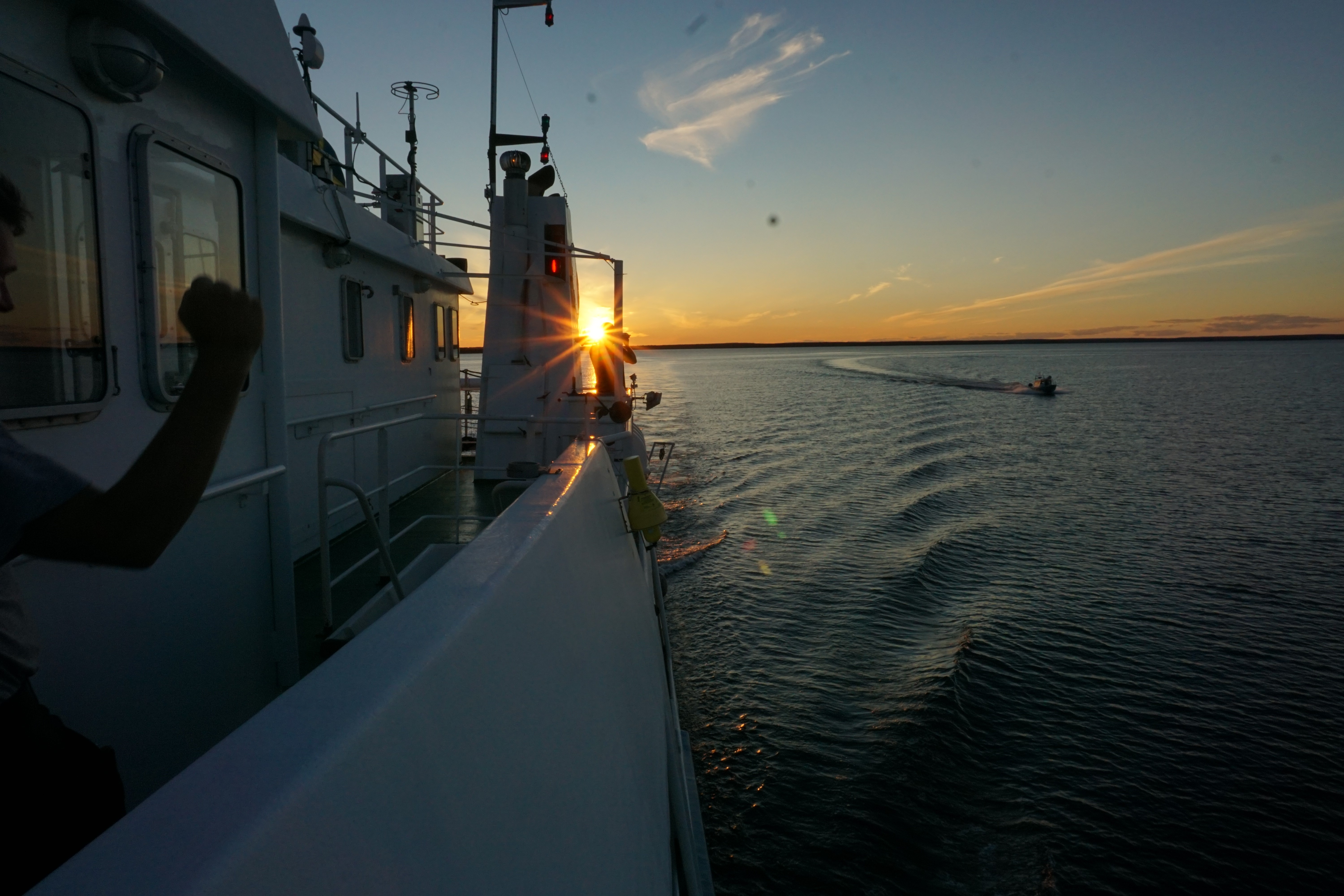
I will now leave you with a short gallery of our season. Until next time…
Jesper Moberg


Figur 5. Shot from our camera cage that we use at each sampling site.

Figur 6. Life was far from absent all the time as it might seem from the text.

Figure 7. The storm “Knud” made it hard to board the boat with almost 1 meter sea level rise.
